By Graham Denyer
The previous ten days had been overcast and chilly with intermittent showers, sometimes wintry. Today was no different. Nevertheless 17 hardy members and 3 dogs turned up for our walk across the Hill of Fare.
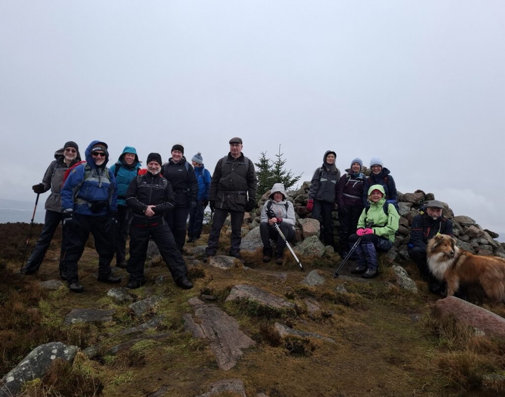
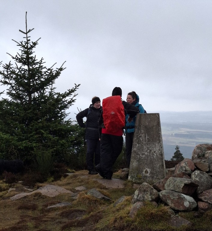
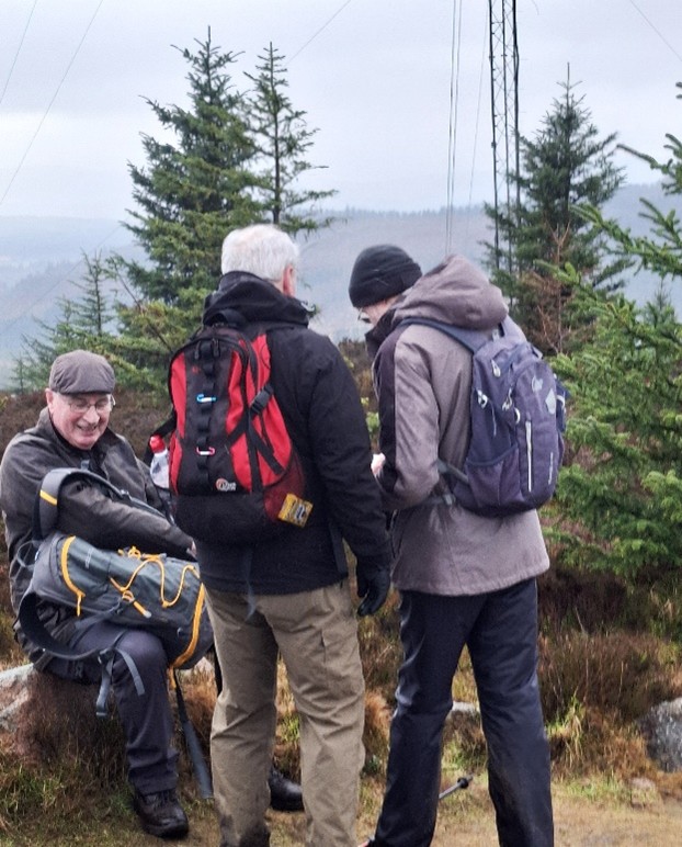
Fortunately, with the weather as it was, we were able to occupy the two laybys available at the start of the walk. We began the walk by taking the forest track opposite the layby on the B977. This lower section of the forest was devastated by the winter storms of 2022-23, and what was once quite heavily forested, is now completely bare. After about 0.5km the track started to ascend more steeply. As we climbed the track narrowed and become heavily rutted and increasingly muddy. The sweeping ascent should have afforded some marvellous views along the way, however, not today. The cold, blustery rain showers and low cloud masked these views. The track eventually curved round and headed towards the mast on the summit of Meikle Tap (359 metres). At the mast we turned right onto a path to the summit windshelter cairn. On a good day the 360o panoramic views on reaching the trig point and mast at the summit would have been fabulous, providing lots of scope for identifying points of interest, and peaks, near and far. Today, the cold wind cut across the summit and it was not long before another shower whipped across the summit, obscuring the view. The unusual stone cairn there provided 4 roughly-seated alcoves at the 4 points of the compass, so we all huddled in for shelter and a quick refreshment stop.
Meikle Tap is on the north-east corner of the extensive Hill of Fare massif, an area of forestry and rough moorland northeast of the village of Torphins, with a number of distinct peaks. Meikle Tap featured in the topography of the Battle of Corrichy in 1562. It was fought between the forces of George Gordon, 4th Earl of Huntly, against the forces of Mary, Queen of Scots, under James Stewart, 1st Earl of Moray. Mary had come in person to the north of Scotland intent on confronting the power of the Gordons, whose force originally took a vantage point on the lower northern slopes of the Meikle Tap. However, damaging arquebus musket shot drove them down to marshy ground. Apparently, the Gordon’s tactic of charging with swords was defeated by Moray’s long pikes, and they were speedily routed.
The Hill of Fare is located about 5 km (3 miles) northeast of the village of Torphins. The hill is long and ridge-shaped, and 470 metres (1542 feet) tall at its highest point. At the top of the hill are several small lochs and the hill is the source of many small burns. As with many hills in this region, there is a cairn at the summit. The hill is likely the source of Torphins’s name; it probably came from Torr Fionn, ‘fair hill’, referring to the Hill of Fare.
There was time for a quick photo session on the summit of Meikle Tap (see photos) then we were off again, passing a solitary standing stone along the way. There are other fallen stones, indicating the possible remains of a more extensive stone circle, but the origin of the stone, or stones, is not documented. From the summit, we descended along a good track to join the landrover track that climbs steadily over open hillside, passing the flanks of Greymore (393 metres) and Blackyduds (433 metres), the other tops on the Hill of Fare ridge. As we regained height the showers became more frequent and then continuous, readily turning from cold rain to sleet and hail then proper snow. With the wind cutting across the ridge top, the snow was blowing horizontal and visibility at times was down to 50 metres. As backmarker I could see the snow gradually building up on one side of everyone’s backpack and protective clothing. We were turning into walking snowmen and snowwomen!!
After several miles of enduring the elements a decision was made to go no further. We didn’t make the summit of the Hill of Fare. We turned round and retraced our steps back along the same track. As we lost height the snow eased, turned back to sleet then eventually stopped. We found a sheltered spot for a quick lunch stop, before continuing our descent along the landrover track. We did not go back over Meikle Tap, but remained at a lower elevation, the final 4km taking us alongside and through the outskirts of Midmar Forest and back to where we had parked the cars.
It was great to see such a good turn out on what was not the best of days for weather. Many thanks to Tony Forster for leading the walk.